搜索结果: 1-15 共查到“工学 Role”相关记录168条 . 查询时间(0.187 秒)
The role of graphene loading on the corrosion-promotion activity of graphene/epoxy nanocomposite coatings
Graphene Polymer-matrix composites Coatings Corrosion
2023/6/21
It is still arguable whether graphene/polymer nanocomposite coating is corrosion inhibitors or promoters. This work aims to determine the "percolation threshold" for corrosion-promotion activity of th...


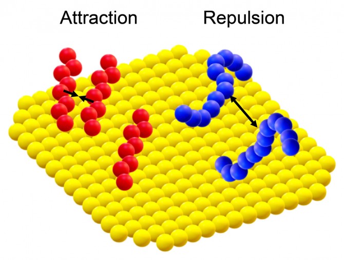
Wildlife territorial behavior could play larger role in disease spread than thought(图)
Wildlife territorial behavior play larger role disease spread thought
2020/6/19
Territorial behavior in wildlife, for example, pumas scent-marking their domains, may help decrease the severity of a potential disease outbreak -- but not without the cost of increased persistence of...

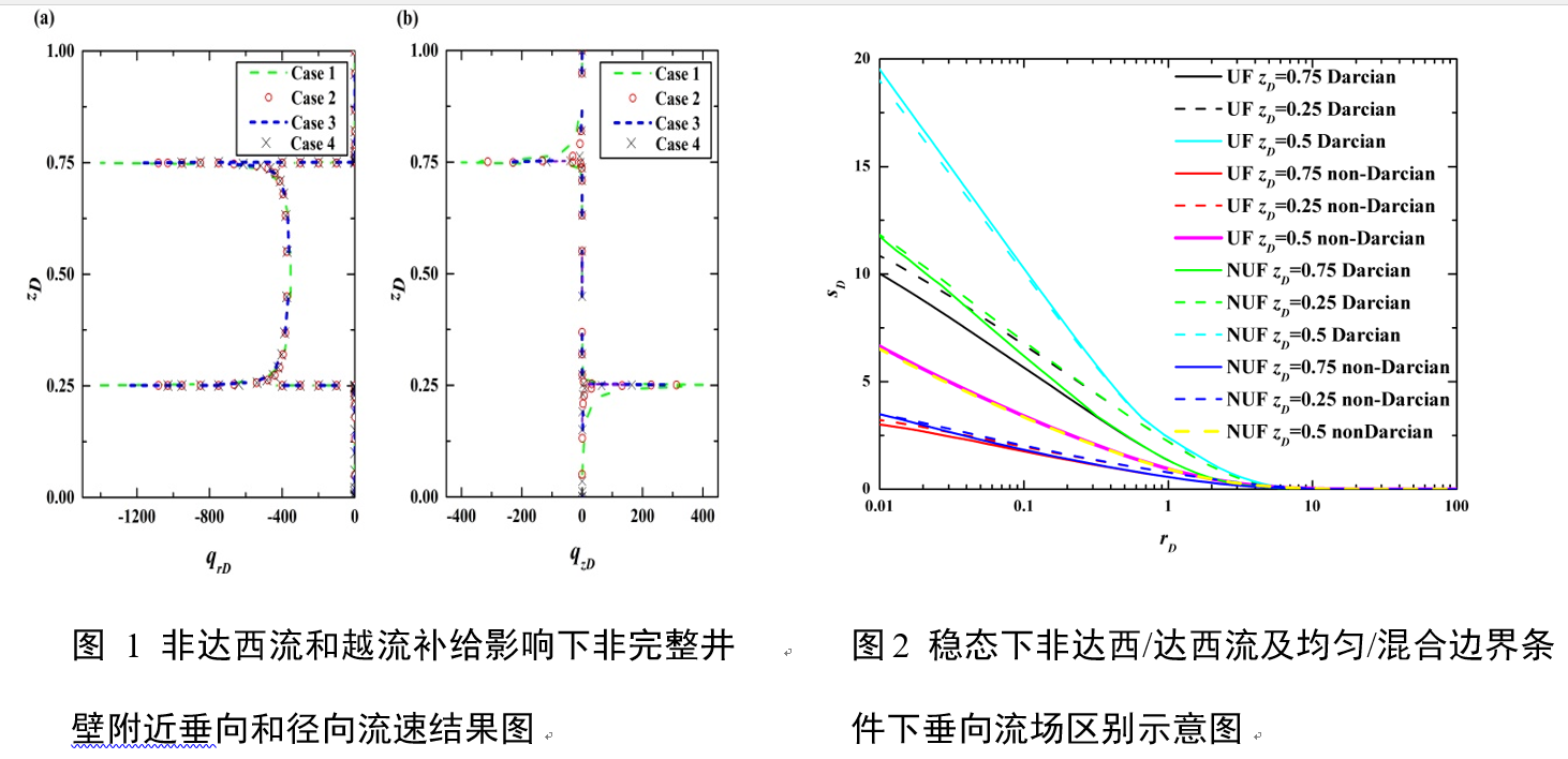
中国地质大学科学技术发展院朱棋(博士研究生),文章*,环境学院. Journal of Hydrology (2019), Combined role of leaky and non-Darcian effects on the flow to a pumping well with a non-uniform flux well-face boundary(图)
整井;达西流;无越流;补给;均质;含水层
2021/10/15
2019年,国际著名期刊《Journal of Hydrology》刊发了中国地质大学环境学院文章教授团队的最新研究成果——“Combined role of leaky and non-Darcian effects on the flow to a pumping well with a non-uniform flux well-face boundary”。该文第一作者为环境学院博士研究生...
DESIGNING PRECINCTS IN THE DENSIFYING CITY – THE ROLE OF PLANNING SUPPORT SYSTEMS
Data-driven approaches Geographic Information Systems (GIS) Collaborative planning Medium density Digital-planning tools
2018/11/9
Australia’s cities face significant social, economic and environmental challenges, driven by population growth and rapid urbanisation. The pressure to increase housing availability will lead to greate...
THE ROLE OF VOLUNTEERED GEOGRAPHIC INFORMATION APPLICATIONS IN DISASTER MANAGEMENT
Volunteered Geographic Information Disaster Management VGI User-generated Citizen Science Crowdsource
2018/4/18
In times of crisis, it is a priority to get help as soon as possible and any kind of help can be accepted. Especially, all kinds of support by volunteers, is a great help in crisis resolution. Crisis ...
THE ROLE OF VOLUNTEERED GEOGRAPHIC INFORMATION APPLICATIONS IN DISASTER MANAGEMENT
Volunteered Geographic Information Disaster Management VGI, User-generated Citizen Science Crowdsource
2018/5/8
In times of crisis, it is a priority to get help as soon as possible and any kind of help can be accepted. Especially, all kinds of support by volunteers, is a great help in crisis resolution. Crisis ...
Assessing the causal role of adiposity on disordered eating in childhood, adolescence, and adulthood: a Mendelian randomization analysis
ALSPAC BMI disordered eating early life Mendelian randomization
2018/11/16
Background: Observational studies have shown that higher body mass index (BMI) is associated with increased risk of developing disordered eating patterns. However, the causal direction of this relatio...
Learn about the future of wireless and the role of federal research investments
future of wireless federal research investments
2016/7/15
In the last decade, wireless usage has expanded dramatically, with nearly 350 million smartphones, connected tablets and wearable devices in use across the U.S. -- more than double the number from a d...
The term soundness originated in mathematical logic: a deductive system is sound with respect to a semantics if it only proves valid arguments. This concept naturally extends to the context of optimiz...
Computers have helped revolutionize the commercial world and transformed the lives of the general public through the development of the Internet and mobile technologies like the iPhone. But, practical...
ROLE OF TIE-POINTS DISTRIBUTION IN AERIAL PHOTOGRAPHY
Photogrammetry Image matching Tie-Points Feature-based matching RANSAC Von Gruber positions
2016/3/25
Automatic image matching algorithms, and especially feature-based methods, profoundly changed our understanding and requirements of tie points. The number of tie points has increased by orders of magn...
A ROLE FOR AIRBORNE LASER SCANNING INTENSITY DATA IN VERTICAL STRATIFICATION OF MULTILAYERED ECOSYSTEMS
airborne laser scanning intensity LiDAR shrubland wildland fi res
2016/2/29
Airborne laser scanning (ALS) based height and intensity information was exploited for the vertical stratification of vegetation layers in
a multilayered Mediterranean ecosystem. A new methodol...
The Surveyor’s Role in Monitoring,Mitigating,and Adapting to Climate Change
Surveyor’s Role Monitoring Mitigating Adapting to Climate Change
2016/1/22
This publication is the result of extensive debates, discussions, and presentations by the FIG Task Force on Surveyors and Climate Change over the past three years. The Task Force was established at F...
THE ROLE OF SPATIAL METRICS ON THE PERFORMANCE OF AN ARTIFICIAL NEURAL-NETWORK BASED MODEL FOR LAND USE CHANGE
Multispectral Remote Sensing Landscape Metrics Spatial Modelling Land use mapping Spatial Analysis Landsat Image Change Detection
2016/1/3
The present study examines the role of spatial metrics in the performance of a previously developed ANN model for predicting land use/cover changes. The model outputs are validated against a land-use ...


