搜索结果: 1-3 共查到“海洋测绘 Changes”相关记录3条 . 查询时间(0.156 秒)

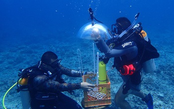
In Guam, researchers developed a method for mapping underwater areas that is transforming how oceanographers observe the seafloor. Data from global positioning satellites are the primary method for ma...
Temporal changes in semivariogram of ocean surface latent heat flux under linear trend
Temporal Spatial Statistics Oceanography Prediction
2014/12/15
One of the ways to study spatio-temporal variability of a process is to consider it as a temporal variation of a spatial process. Semivariogram is a measure of spatial variation in a process. If a pro...
MULTI-DECADAL FLUVIO-GEOMORPHOLOGICAL AND BANKLINE CHANGES OF THE GANGA RIVER AROUND BALLIA AND RUDRAPUR USING REMOTE SENSING AND GIS TECHNIQUES
Ganges fluvio-geomorphology bank-line changes aggradation degradation
2014/5/6
Fluvial landforms are developed due to river action and these processes help in understanding the development of various landforms on the earth's surface. Gangetic plain is vast alluvial tract made up...

