搜索结果: 1-15 共查到“知识库 自然地理学”相关记录791条 . 查询时间(2.227 秒)

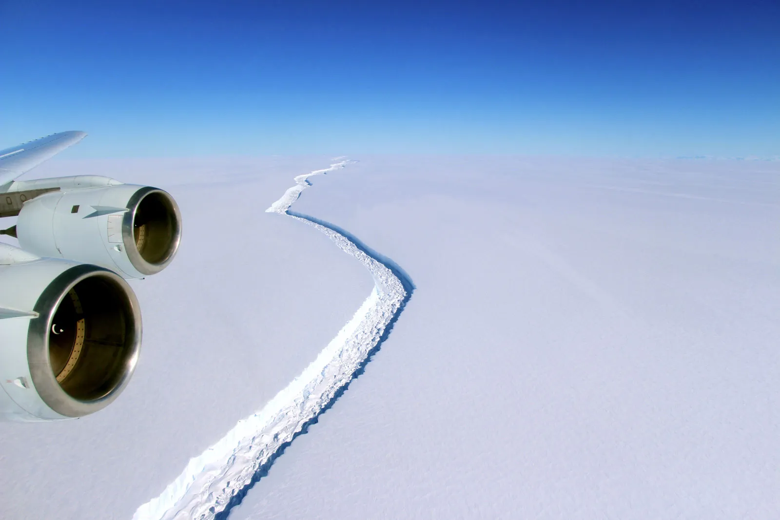
Antarctica, Earth’s coldest continent, is known for its remoteness, its unique fauna, and its frigid surface of ice. Around Antarctica’s periphery, dozens of ice shelves (that is, masses of glacier-fe...
南京大学自然地理学系简介
自然地理学 地理气象 地质矿物
2023/5/25
南京大学自然地理学系始于1921年竺可桢先生创建的地学系,设地理气象和地质矿物两个专业。1930年,原中央大学的地理专业独立成系。1949年中央大学地理系更名为南京大学地理系。1952年院系调整时,并入原浙江大学地理系、四川大学地理系和金陵女子大学地理系的部分师生。1954年,在国内率先成立自然地理学专业,之后,又先后在国内率先成立地貌与第四纪地质学、自然资源(陆地水文,之后调整为资源环境与城乡规...
北京林业大学水土保持学院学科简介
北京林业大学水土保持学院 水土保持与荒漠化防治学 地理学 土木工程
2022/9/30
学院现有农学、理学、工学3个学科门类,水土保持与荒漠化防治学、地理学、土木工程3个一级学科,以及北京市高精尖学科生态修复工程学,形成了以水土保持与荒漠化防治学为核心,地理学、土木工程、生态修复工程学深度融合,协同发展的学科格局。
个人如何参与碳交易?
碳交易 碳减排 普通公众
2024/12/6
在中华人民共和国生态环境部组织起草的《碳排放权交易管理暂行条例(草案修改稿)》中提到,个人作为全国碳排放权交易市场的交易主体之一,可以参与碳排放配额交易。也就是说,碳交易将以一种金融投资方式,让更多的普通公众参与进来。


GRL:定量校正石冰川驱动的多年冻土分布模拟高估(图)
定量校正 石冰川驱动 冻土分布 模拟高估
2023/1/17
两种分辨率DEM在不同空间尺度下的差异—以黄土高原丘陵区为例
黄土高原丘陵区 DEM 地形因子 空间尺度
2021/7/12
以黄土高原丘陵区的局部山区为研究区域,利用空间分辨率为5m和30m的数字高程模型(DEM)数据,通过ArcGIS软件提取其海拔、坡度、地表粗糙度和太阳辐射4个地形因子,结合SPSS中的Mann-whitney检验分析不同空间尺度下(缓冲半径R为100~5000m)5m和30m分辨率的DEM之间的差异。结果表明,随着空间尺度变化,5m和30m分辨率DEM中提取的地形因子的变化趋势是相同的;当R≥50...

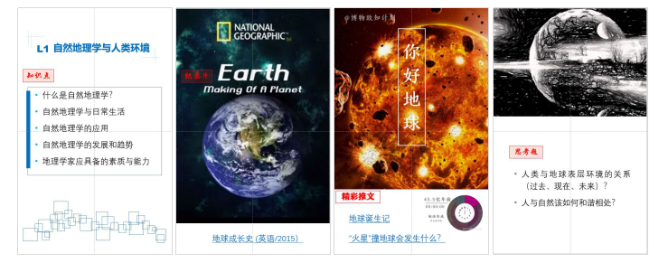
【课程案例】图说《自然地理学》云端教学(图)
课程案例 自然地理学 云端教学
2024/4/28
GLACIER FRONTAL LINE EXTRACTION FROM SENTINEL-1 SAR IMAGERY IN PRYDZ AREA
SAR Glacier Frontal Sentinel-1 CFAR Profile analysis
2018/5/14
Synthetic Aperture Radar (SAR) can provide all-day and all-night observation of the earth in all-weather conditions with high resolution, and it is widely used in polar research including sea ice, sea...
DOM AND DEM SYNCHRONIZATION EDITIONG AND UPDATING METHOD BASED ON GEOMORPHOLOGICAL CHANGE DETECTION
DOM DEM Geomorphological Change Detection Synchronization Editing Updating Method
2018/5/11
Aiming at the deficiency of the existing DOM and DEM production modes and the networking and automation requirements of the information mapping production system, a method of network-based simultaneou...
WETLAND CLASSIFICATION FOR BLACK DUCK HABITAT MANAGEMENT USING COMBINED POLARIMETRIC RADARSAT 2 AND SPOT IMAGERY
Wetlands Synthetic Aperture Radar Polarimetric data Decomposition Classification
2018/5/16
The black duck population has decreased significantly due to loss of its breeding habitat. Wetlands are an important feature that relates to habitat management and requires monitoring. Synthetic Apert...
ECO-ENVIRONMENT STATUS EVALUATION AND CHANGE ANALYSIS OF QINGHAI BASED ON NATIONAL GEOGRAPHIC CONDITIONS CENSUS DATA
national geographic conditions census remote sensing eco-environment status ecological index ecological change analysis
2018/5/17
As the headstream of the Yellow River, the Yangtze River and the Lantsang River, located in the hinterland of Qinghai-Tibet Plateau, Qinghai province is hugely significant for ecosystem as well as for...
INVENTORY, MAPPING, GEOMORPHIC CHARACTERIZATION, AND VALIDATION OF DEEP-SETATED LANDSLIDES USING SKY-VIEW FACTOR VISUALIZATION: NORTHERN, CENTRAL, AND SOUTHERN TAIWAN
Deep-seated landslide LiDAR DEMs Sky-view factor Landslide micro-topography interpretation Landslide susceptibility
2018/4/18
Extreme rainfall with long-term period plays a principal role in triggering deep-seated landslide around the mountainous area. A well-known typhoon Morakot, the most destructive event occurred in Augu...
FLASH FLOOD MAPPING FOR MOUNTAIN STREAMS USING HIGH-RESOLUTION ALOS-2 DATA
ALOS-2 Capacity building Flood detection Valley floodplain
2018/4/18
This paper introduces a practical way to improve the risk management capacity and resilience of communities by utilizing a prompt flash flood map produced from very high spatial resolution ALOS-2 data...
INVENTORY, MAPPING, GEOMORPHIC CHARACTERIZATION, AND VALIDATION OF DEEP-SETATED LANDSLIDES USING SKY-VIEW FACTOR VISUALIZATION: NORTHERN, CENTRAL, AND SOUTHERN TAIWAN
Deep-seated landslide LiDAR DEMs Sky-view factor Landslide micro-topography interpretation Landslide susceptibility
2018/5/8
Extreme rainfall with long-term period plays a principal role in triggering deep-seated landslide around the mountainous area. A well-known typhoon Morakot, the most destructive event occurred in Augu...


