搜索结果: 1-15 共查到“工学 ACCURATE”相关记录88条 . 查询时间(0.105 秒)
Academy of Mathematics and Systems Science, CAS Colloquia & Seminars:Fast and accurate solvers for the three dimensional elastic scattering problems
三维弹性 散射 求解器 弹性波
2023/4/26


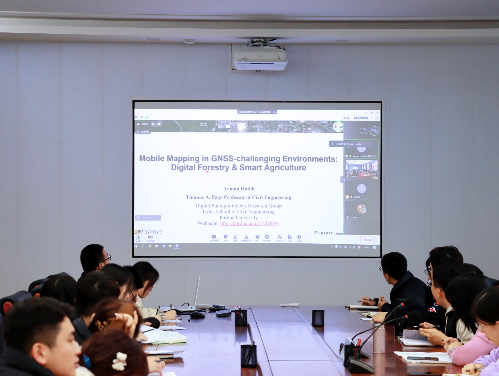
Ayman F.Habib教授作“Mobile Mapping Systems for Accurate Documentation of Transportation Corridors”报告(图)
Ayman F.Habib教授 土木工程学 数字摄影测量 美国摄影测量与遥感学会
2022/8/29
2021年12月23日上午,由测绘与空间信息学院主办的第11期智“绘”讲堂在第一会议室成功举办。本期智“绘”讲堂邀请到美国摄影测量与遥感学会(ASPRS)和加拿大地球空间信息学会(CIG)会员、美国普渡大学土木工程学院教授、数字摄影测量课题组组长、首席科学家Ayman F. Habib教授作了题为“Mobile Mapping Systems for Accurate Documentation ...
INSAR UNWRAPPING ERROR CORRECTION BASED ON QUASI-ACCURATE DETECTION OF GROSS ERRORS (QUAD)
QUAD, InSAR, Unwrapping Error Correction, Gross Error, L1-norm
2018/5/14
Unwrapping error is a common error in the InSAR processing, which will seriously degrade the accuracy of the monitoring results. Based on a gross error correction method, Quasi-accurate detection (QUA...
CAN WE USE LOW-COST 360 DEGREE CAMERAS TO CREATE ACCURATE 3D MODELS?
360° camera Accuracy Automation Low-cost Orientation Orthophoto Surface reconstruction
2018/6/4
360 degree cameras capture the whole scene around a photographer in a single shot. Cheap 360 cameras are a new paradigm in photogrammetry. The camera can be pointed to any direction, and the large fie...
ACCURATE AND FAST BUILDING DETECTION USING BINARY BAG-OF-FEATURES
Building Detection Simple Linear Iterative Clustering Binary Bag-Of-Features Machine Learning Local Feature Descriptor Classification
2017/7/13
This paper presents a non-interactive building detection approach employing binary bag-of-features (BBOF), namely, extracting building roof contours in remote sensing images automatically, rapidly and...
ACCURATE ESTIMATION OF ORIENTATION PARAMETERS OF UAV IMAGES THROUGH IMAGE REGISTRATION WITH AERIAL OBLIQUE IMAGERY
Unmanned Aerial Vehicles Aerial Oblique Imagery Image Matching Image Orientation
2017/7/13
Unmanned Aerial Vehicles (UAVs) have gained popularity in acquiring geotagged, low cost and high resolution images. However, the images acquired by UAV-borne cameras often have poor georeferencing inf...
GENERATING ACCURATE 3D MODELS OF ARCHITECTURAL HERITAGE STRUCTURES USING LOW-COST CAMERA AND OPEN SOURCE ALGORITHMS
Structure-From-Motion Dense Point Cloud Mesh Open Source Algorithms Architectural Heritage
2017/6/20
These studies have been conductedusing non-metric digital camera and dense image matching algorithms, as non-contact methods of creating monuments documentation.In order toprocess the imagery, few ope...
CLOSE RANGE UAV ACCURATE RECORDING AND MODELING OF ST-PIERRE-LE-JEUNE NEO-ROMANESQUE CHURCH IN STRASBOURG (FRANCE)
Close range photogrammetry UAV 3D reconstruction heritage documentation
2017/4/10
Close-range photogrammetry is an image-based technique which has often been used for the 3D documentation of heritage objects. Recently, advances in the field of image processing and UAVs (Unmanned Ae...
EXTRACTING ACCURATE AND PRECISE TOPOGRAPHY FROM LROC NARROW ANGLE CAMERA STEREO OBSERVATIONS
DEM/DTM Three-dimensional Application Planetary Mapping Geomorphology Modeling Processing
2016/11/8
The Lunar Reconnaissance Orbiter Camera (LROC) includes two identical Narrow Angle Cameras (NAC) that acquire meter scale imaging. Stereo observations are acquired by imaging from two or more orbits, ...
A new molecular gel recipe developed at the University of Michigan is at the core of a prototype for a more accurate lead paint test.The test makes it easy to see whether a paint chip contains more th...
EFFICIENT AND ACCURATE INDOOR LOCALIZATION USING LANDMARK GRAPHS
Indoor Localization Landmark Graph Dead Reckoning
2016/7/8
Indoor localization is important for a variety of applications such as location-based services, mobile social networks, and emergency response. Fusing spatial information is an effective way to achiev...
POLE PHOTOGRAMMETRY WITH AN ACTION CAMERA FOR FAST AND ACCURATE SURFACE MAPPING
High resolution Orientation Point Cloud Accuracy Change Detection
2016/7/5
High resolution and high accuracy terrain mapping can provide height change detection for studies of erosion, subsidence or land slip. A UAV flying at a low altitude above the ground, with a compact c...
IMAGE CAPTURE WITH SYNCHRONIZED MULTIPLE-CAMERAS FOR EXTRACTION OF ACCURATE GEOMETRIES
Mobile Mapping Action Cameras Panoramic Photogrammetry Spherical Panorama Stereo Camera Dense Point Cloud Generation Multi-Sensor
2016/7/5
This paper presents a project of recording and modelling tunnels, traffic circles and roads from multiple sensors. The aim is the representation and the accurate 3D modelling of a selection of road in...
INTRODUCTION OF A PHOTOGRAMMETRIC CAMERA SYSTEM FOR RPAS WITH HIGHLY ACCURATE GNSS/IMU INFORMATION FOR STANDARDIZED WORKFLOWS
UAV RPAS Modular Airborne Camera System MACS Metric Camera Direct Georeference RTK-GNSS
2016/3/25
In this paper we present the evaluation of DLR’s modular airborne camera system MACS-Micro for remotely piloted aircraft system (RPAS) with a maximum takeoff weight (MTOW) less than 5kg. The main focu...


